Resource Consents & District Plan Advice
Not sure what rules apply to your property or proposed activity? We can help guide you through the process of checking and if necessary obtaining resource consent for your land development, buildings, subdivision, earthworks or unique project. Our experienced planners have extensive knowledge of Local and Regional Council District Plan rules and are able to provide pre purchase advice, prepare consent applications and provide representation at resource consent hearings. Our typical work includes subdivision consents, boundary adjustments, and consents for water takes, earthworks, and vegetation clearance. We also carry out work on more unique projects from time to time and have a wealth of planning knowledge across our company to call on.
Site Surveys
Considering a development or subdivision? Before you proceed you need to accurately obtain ground levels and location of site features so that you start your new project off in the right direction. A good site survey is fundamental to every land based project and needs to be as accurate as possible. There is no point designing a new subdivision only to find that it does not fit the site. Obtaining an accurate site survey is a minor cost but if ignored could result in substantial expense. We provide high quality data capture and produce plans in formats suitable for use by other consultants such as architects and engineers.
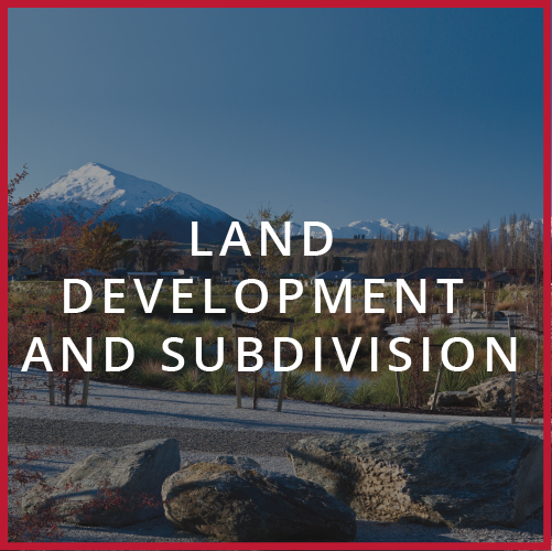
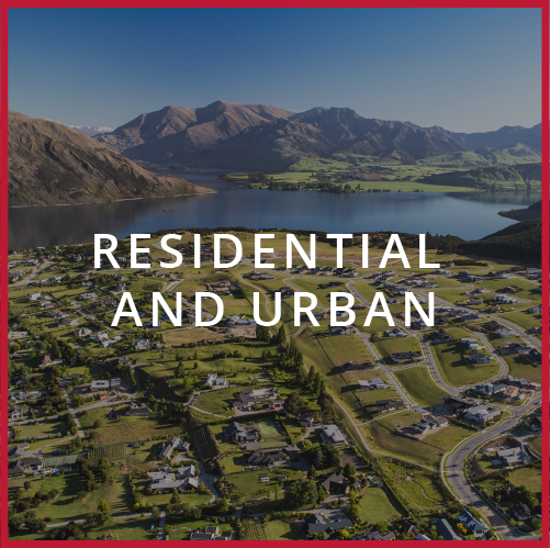
Urban Subdivisions
Rural Subdivisions
Looking to subdivide some lifestyle blocks? Want to create a unique rural lifestyle development? We undertake subdivision in the rural area and have been involved with some unique lifestyle subdivisions. We can handle the whole process from consenting, design of services and roading, through to civil construction and the land transfer survey.
Unit Title Developments
Most high rise residential and multi-unit commercial / industrial developments utilise a strata titling system. This is generally known as a unit title, with titles being issued under the Unit Titles Act 2010. This method of subdivision suits developments where many owners share access, parking and recreational facilities. Maintenance of the buildings and shared facilities is carried out by a ‘Body Corporate’, comprised of all the individual owners. We are able to provide the expertise and professional knowledge to ensure your ‘Unit Title’ subdivision not only complies with the appropriate rules but also meets mandatory requirements as set in the District Plan for your area.
Civil Engineering Design
Our experienced designers undertake civil engineering designs of roading, stormwater, waste water and water supplies. Using the latest 12d software allows more time for refinement and considering design options to achieve an efficient design that balances your requirements and any compliance standards whilst seeking to minimise costs. Following design completion we are able to produce detailed engineering plans that can be easily interpreted by local Council engineers during consent or by your civil contractor during construction. We also provide the design information in electronic format for civil contractors who use the latest construction GPS equipped machines.
Earthworks & Roading Design
Looking to rework your site to provide a better building platform? Or building a new driveway access? Our expert designers undertake 3d modelling using the latest engineering software called 12d to confirm the geometric shape of your proposal versus the current land shape. Using 12d allows more time for refinement and considering design options to achieve an efficient design that balances your requirements and any compliance standards whilst seeking to minimise costs. Following design completion we are able to produce detailed earthworks plans that display the final contours, depth of cut fill and the extent of cut and fill areas that can be interpreted by the Local Council planners during consent or by your Civil Contractor during construction. We also provide the design information in electronic format for Civil Contractors who use the latest construction GPS equipped machines as well.
Contract Documents & Tendering
Following detailed design of roading, drainage and services we can prepare detailed schedule of quantities, engineers estimate of costs, and handle putting together contract documents and specifications for tendering of civil engineering works ranging from large scale earthworks and subdivision projects down to small scale excavations or building related civil construction work such as driveways and drainage connections.
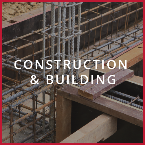
Construction Administration
Need someone to take care of dealing with civil contractors and overseeing completion of civil engineering works? We have experienced surveyors and engineers who oversee and project manage construction projects form large scale subdivisions, earthworks involved with building sites or irrigation dams down to small scale sites involving earthwork platforms, driveways and drainage. We administer construction contracts under New Zealand Standards 3910 which gives both the client and the contractor confidence that we act as impartial engineers who ensure that all aspects of the contract are fully satisfied.
As-Built
A large part of our surveying work involves undertaking as-built surveys of new and existing services for submitting to local Council or for private use by commercial operators. We can help you set up systems to manage your as-built information needs by undertaking high precision as-builting of completed services and outputting the data in a variety of formats.
Setout & Certification
Construction Setout
Boundary Location
As-builts
Monitoring
Civil Engineering Design
Earthworks & Roading Design
Contract Documents & Tendering
Construction Administration
Boundary Location
Site Surveys
Resource Consents & District Plan Advice
Setout & Certification
Boundary Adjustments
Easements & Covenants
Need advice on what easements or covenants apply to your property or what right you have over someone else’s property? Need to create a new easement? Our Licensed Cadastral Surveyors undertake easement surveys on a regular basis to protect rights to services or vehicle access over adjoining properties. The work typically involves confirming the location of the service or extent of driveway and then preparing a legal survey plan that is lodged with LINZ and used by your lawyer to prepare the necessary legal documents.
Earthworks & Roading Design
Other

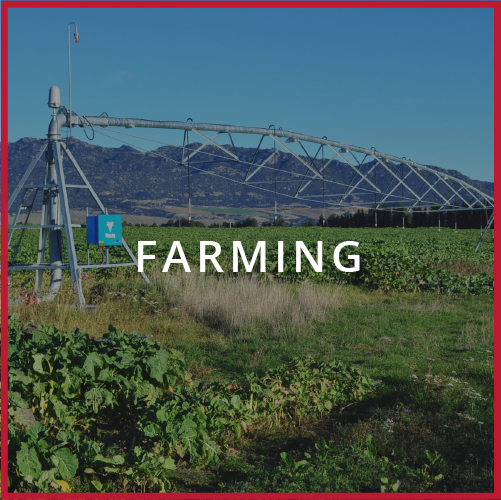
Do you own a slice of rural paradise and need help in obtaining permission to build or establish a residential building platform on your rural property? Looking to subdivide some lifestyle blocks? Our planners and surveyors have expertise in obtaining building platforms on rural blocks and undertaking rural subdivision and can guide you through the consent process. Contact one of our expert land surveyors, resource management planners or land development engineers. Our main areas of work in the Rural Lifestyle area include:
Building Platforms
Subdivision
Looking to subdivide some lifestyle blocks? Want to create a unique rural lifestyle development? We undertake a lot of subdivision in the rural area and have been involved with some unique lifestyle subdivisions. We can handle the whole process from consenting, design of services and roading, through to civil construction and the land transfer survey.
Boundary Location
Purchasing a property? Working near the boundary or need to build a fence on a boundary and you are not sure of the exact location of the boundary? We can redefine the position and help you avoid disagreement with your neighbour. When building a house you need to ensure that your building complies with the setback distances before building starts. We can help by ensuring that the boundaries are accurately and clearly marked on the ground before you proceed.
Boundary Adjustments
Need advice on what easements or covenants apply to your property or what right you have over someone else’s property? Need to create a new easement? Our Licensed Cadastral Surveyors undertake easement surveys on a regular basis to protect rights to services or vehicle access over adjoining properties. The work typically involves confirming the location of the service or extent of driveway and then preparing a legal survey plan that is lodged with LINZ and used by your lawyer to prepare the necessary legal documents.
Easements and Covenants
Need advice on what easements or covenants apply to your property or what right you have over someone else’s property? Need to create a new easement? Our Licensed Cadastral Surveyors undertake easement surveys on a regular basis to protect rights to services or vehicle access over adjoining properties. The work typically involves confirming the location of the service or extent of driveway and then preparing a legal survey plan that is lodged with LINZ and used by your lawyer to prepare the necessary legal documents.
Earthworks & Roading Design
Other
Queries? Give us a call as we undertake a variety of work across our group and can call on advice from our planners, surveyors and designers who have years of experience, not just in the main areas above but on more unique projects where we can tailor our skills to suit any rural lifestyle land based project.